
How a Collaborative Field Walkthrough Strengthened Planning for a 150 MW Solar Project
Collaborative ArcGIS Field Maps walkthrough aligns experts early, strengthens permitting and constructability planning for a 150 MW solar project.
Overview
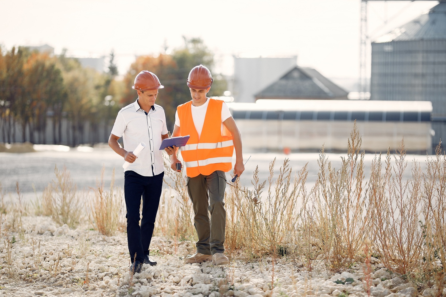
Access National Energy Partners recently coordinated a field walkthrough for a ~150 MW solar project to evaluate environmental permitting considerations and constructability.
What could have been a routine site visit became far more impactful because the right mix of experts was on the ground together. Each discipline brought a different lens, creating a shared understanding of site constraints and opportunities that would have been difficult to achieve through desktop reviews alone.
To support this coordination, the team leveraged Esri’s ArcGIS Field Maps, a mobile application that allowed preconfigured web maps and structured data collection forms to be accessed directly in the field. Rather than relying on static PDFs or post-visit email summaries, participants were able to engage with shared, live project data in real time.
The Challenge
Large solar projects often involve multiple permitting pathways, environmental sensitivities, and design considerations that need early alignment.
Reviewing wetlands, watercourses, disturbance limits, and layout concepts in isolation can lead to gaps, misinterpretations, or delayed adjustments. Without a shared field view, teams may spend time debating assumptions rather than responding to actual site conditions, resulting in long feedback cycles and design changes after significant effort is already invested.
In addition to coordinating multiple disciplines on site, another challenge lies in consolidating everyone’s notes and map markups after the visit. Historically, site observations were recorded on static PDFs, handwritten notes, or shared through email. Post-processing unstructured information from multiple sources is time-consuming and slows decision-making.
The project team needed a way to bring these perspectives together early and translate technical data into practical, site-specific decisions without creating downstream administrative burden.
The Approach
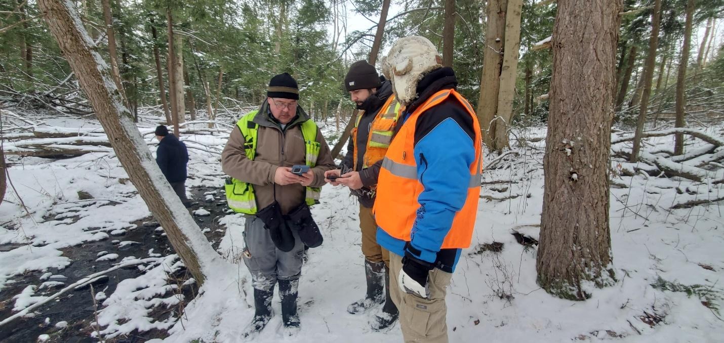
The Access NEP team brought environmental scientists, permitting specialists, civil designers, land use experts, and local construction professionals into a single coordinated walkthrough.
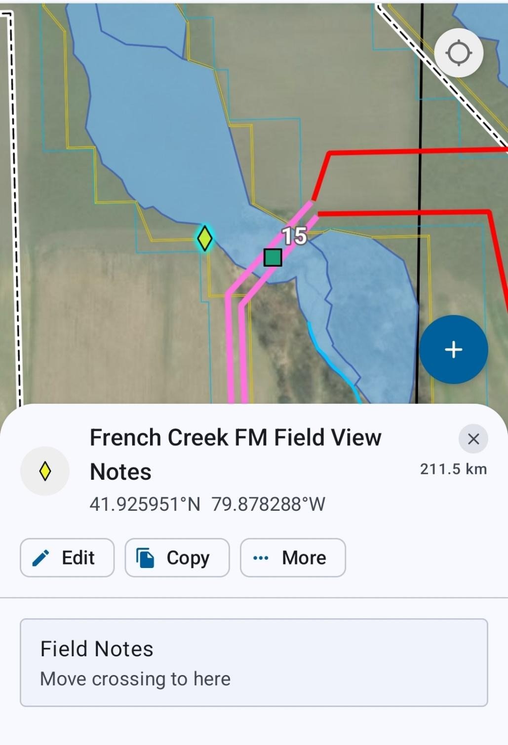
Using Esri ArcGIS Field Maps, the team accessed preconfigured web maps directly on their mobile devices. Participants viewed live location data alongside delineated wetlands, jurisdictional watercourses, proposed limits of disturbance, and project features such as array areas, fencing, and collection lines.
With everyone seeing the same information at the same time, conversations shifted from concept-driven to location-specific. Participants could point directly to features in the field, identify constraints, and discuss feasible adjustments or alternative crossing approaches on the spot.
By working from shared, structured data in real time, the team eliminated the need for fragmented note consolidation after the visit. Time typically lost to post-processing could instead be redirected toward clearer, faster decision-making.
Expected Outcome
- Strengthened environmental permitting planning through real-time insights
- Clearer and more grounded constructability discussions
- Reduced overall project costs through a shared, early understanding of site conditions
- Minimized post-processing time by consolidating field inputs on the spot
The Takeaway
Collaborative field views create value that desktop reviews cannot match. When the right experts walk the site together, armed with shared data, decisions become clearer, constraints are easier to navigate, and project teams move forward with a stronger, more unified plan.
The ability to measure, collect photos, and update mapped features directly in the field reduces misinterpretation and removes the administrative friction that often follows site visits. Instead of reconciling notes after the fact, teams can move forward with aligned, defensible decisions grounded in actual site conditions.
Access NEP is grateful for opportunities to work alongside multidisciplinary teams like this and continues to learn from every project.